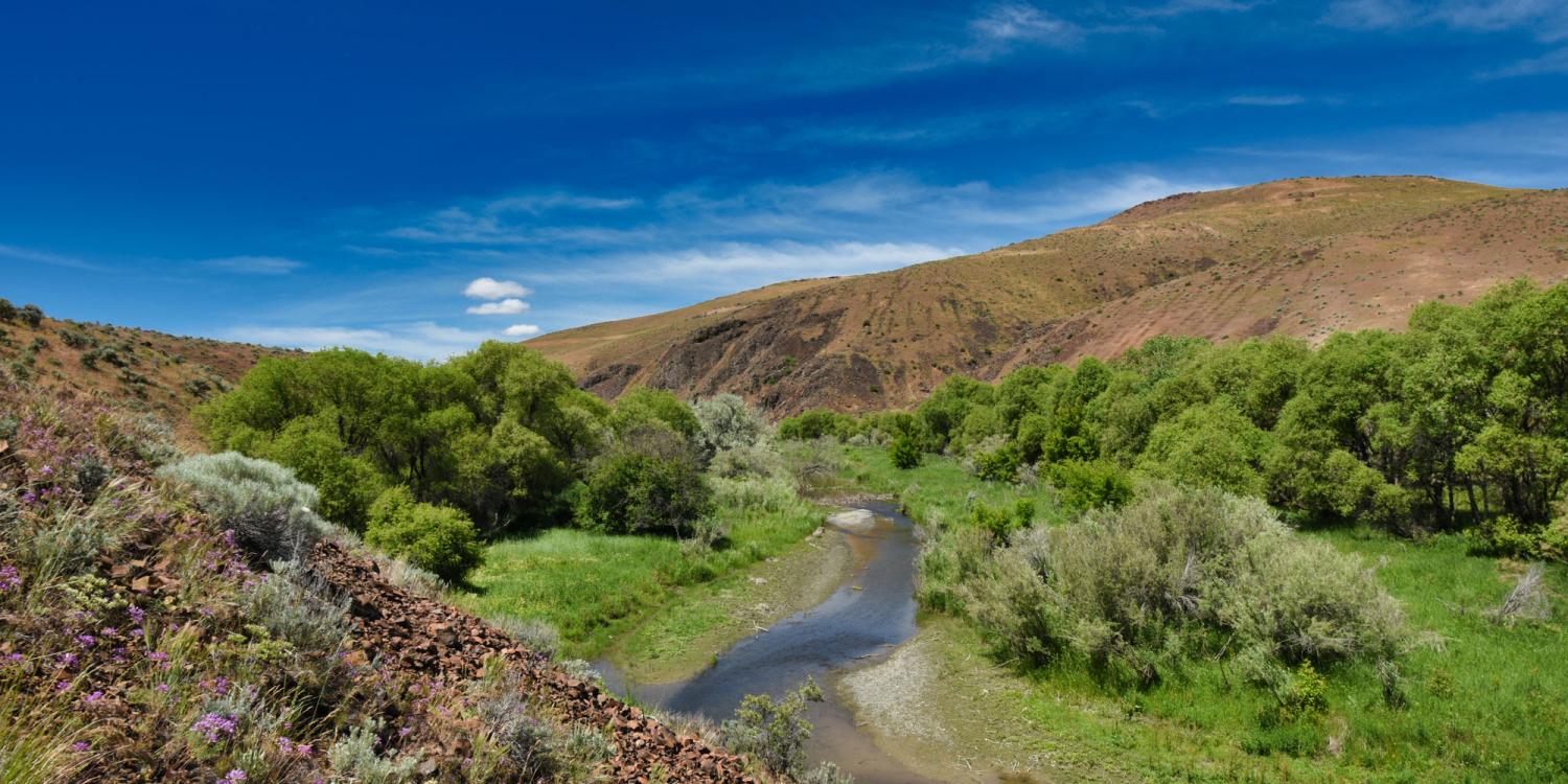
Riparian areas – which are associated with streams, rivers, creeks and wetlands – support 80% of wildlife in arid rangelands but comprise only about 2% of sagebrush landscapes. In recent years natural resource professionals who manage rangelands have become increasingly concerned about the health of riparian areas.
Recently there has been increased concern from natural resource professionals for the health of riparian areas within our arid rangelands, and great interest in assessing and ultimately restoring areas in need of management attention. However, there are currently no assessment tools or guides targeting natural resource professionals that lack extensive training and experience in riparian and stream ecology and evaluation techniques. The need for assessing stream health greatly exceeds the current expertise. Most rangeland managers have no formal training in assessing or restoring mesic or riparian areas but are responsible for the health of these areas within their management areas.
In response, the Oregon State University Sagebrush Habitat Team, which includes OSU Extension researchers, teamed with an interagency group to create a basic stream assessment tool. To develop the tool, the group hosted eight workshops from 2022 to 2023 to train and solicit feedback from those who would use such a tool. Attendees represented a wide range of knowledge and experience levels, from beginners to experts. The result of those workshops is a library of supporting educational resources, including:
- An in-depth manager’s guide.
- A condensed field guide.
- A collection of high-quality visuals, in the form of photographs, video, and 360- degree videography and photography, of streams in various states of function and degradation.
As a result of this work, the stream assessment tool is now in use across all sage-grouse conservation plans on private lands in Oregon, totaling over 600,000 acres. The programs reached 179 people who are responsible in some capacity for managing over 22 million acres. All program participants reported they gained knowledge in at least one of the topic areas. They also indicated a moderate to high improvement in skills for assessing riparian areas, planning process-based restoration and monitoring riparian areas.
Every attendee who completed an evaluation indicated they were comfortable identifying areas in need of management attention, and they all indicated they were at least somewhat to highly likely to use the approach in the future.
OSU’s partners on the initiative included the U.S. Department of Agriculture’s Agricultural Research Service, the U.S. Fish and Wildlife Service, The Nature Conservancy, the Oregon Natural Desert Association, the U.S. Natural Resources Conservation Service, county soil and water conservation districts and Eastern Oregon watershed councils.